Trekking expedition at Mt. Mihara (Oshima Island)Experience Oshima Island’s Volcanic Treasures
While Japan is an island nation full of volcanoes, Oshima is a young and active volcanic island. The 91-square-kilometer destination is the largest of the Izu Island chain, and is home to several attractions, including
Mt. Mihara (Mihara-yama), various onsens, and ‘Ura-Sabaku Desert,’ Japan’s only desert.
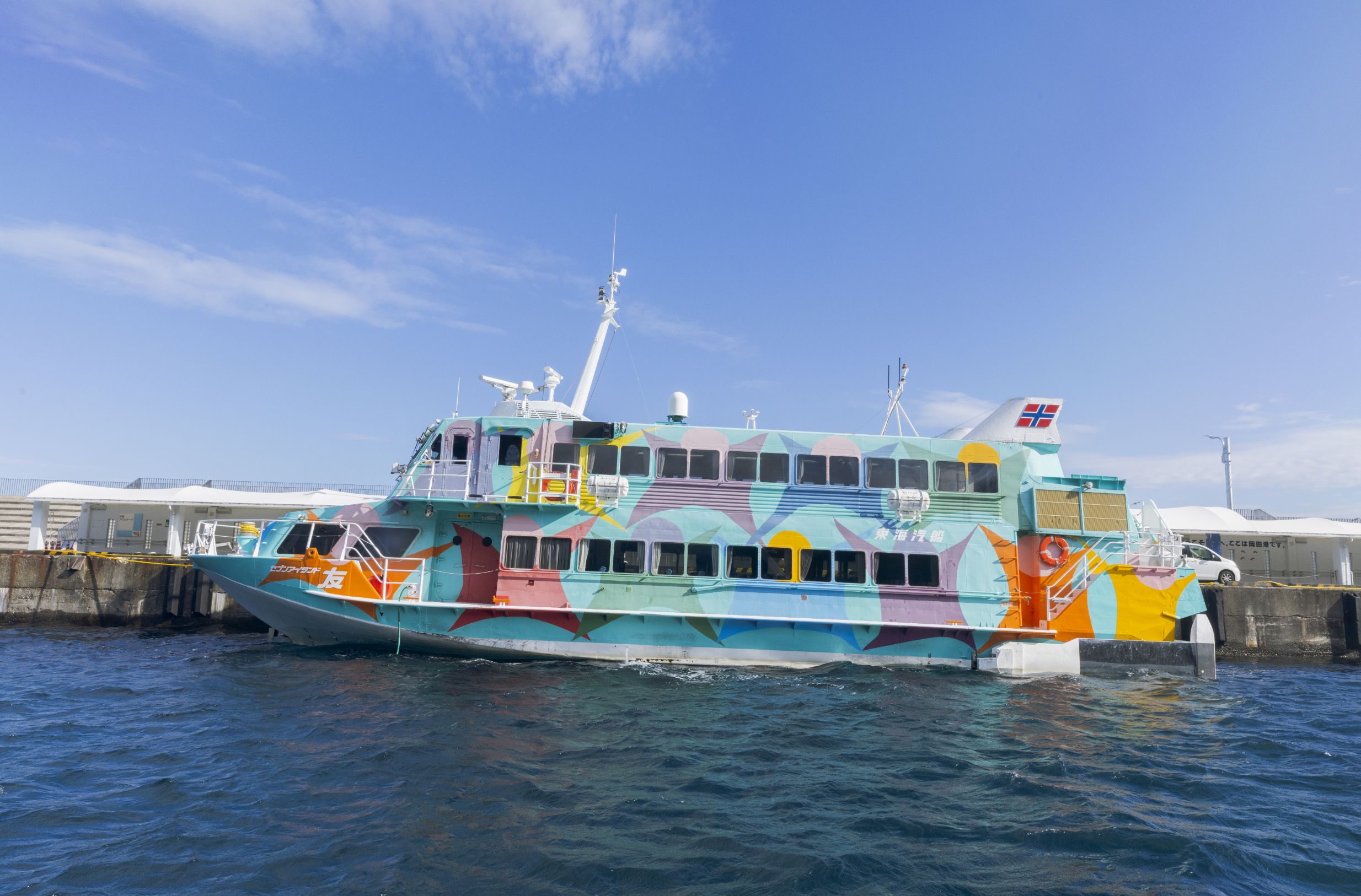
The island is a popular tourist hub, due to its proximity to the mainland. Visitors can ride a high-speed jet boat from
Takeshiba Terminal to reach the island, which takes about 1 hour and 45 minutes.
High-speed jet boat to Oshima Island
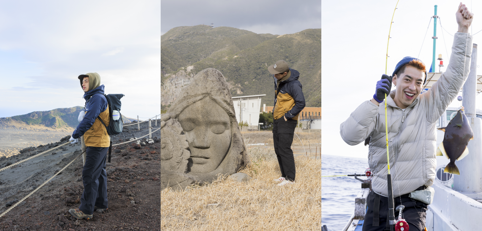
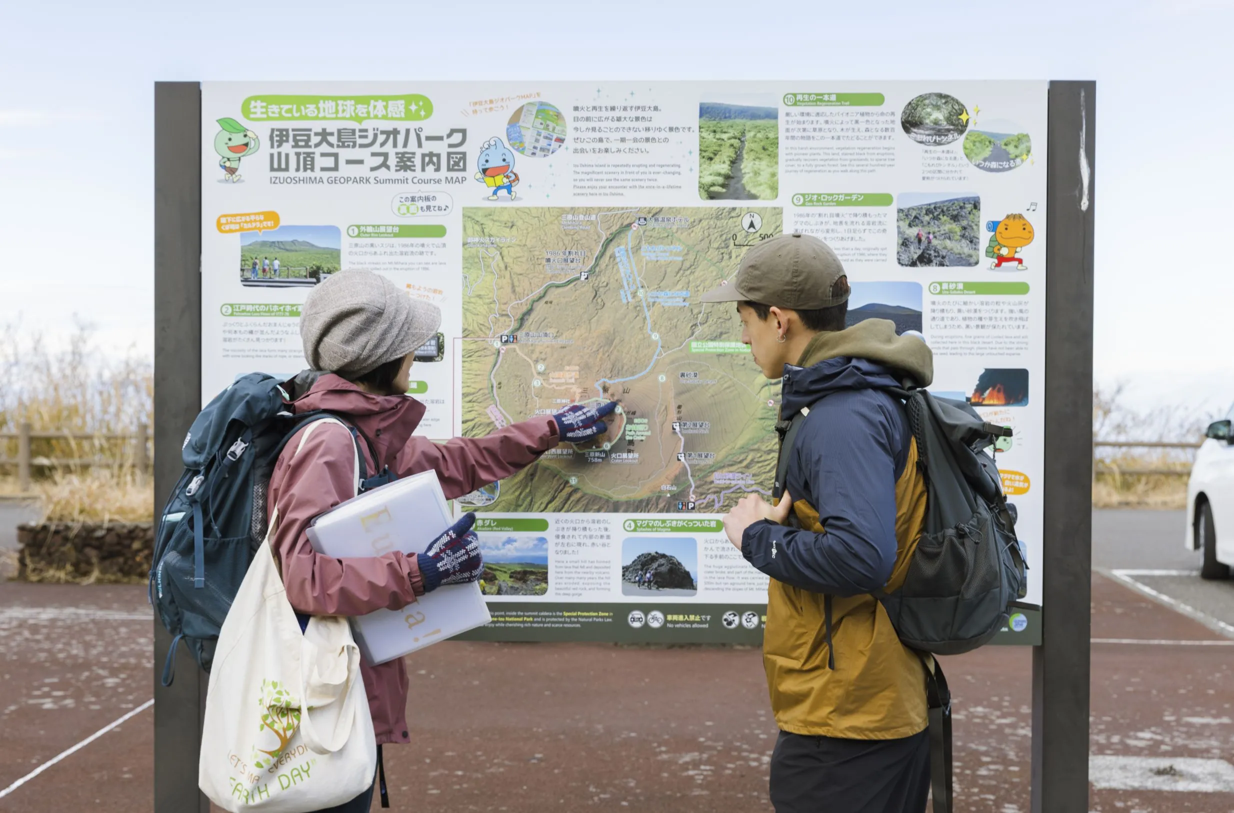
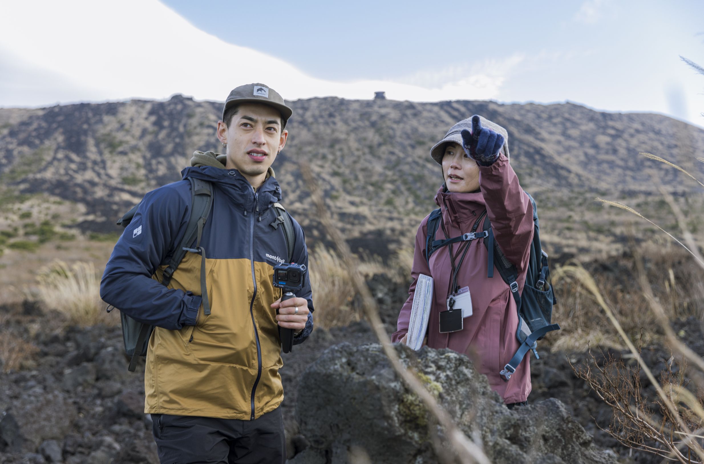
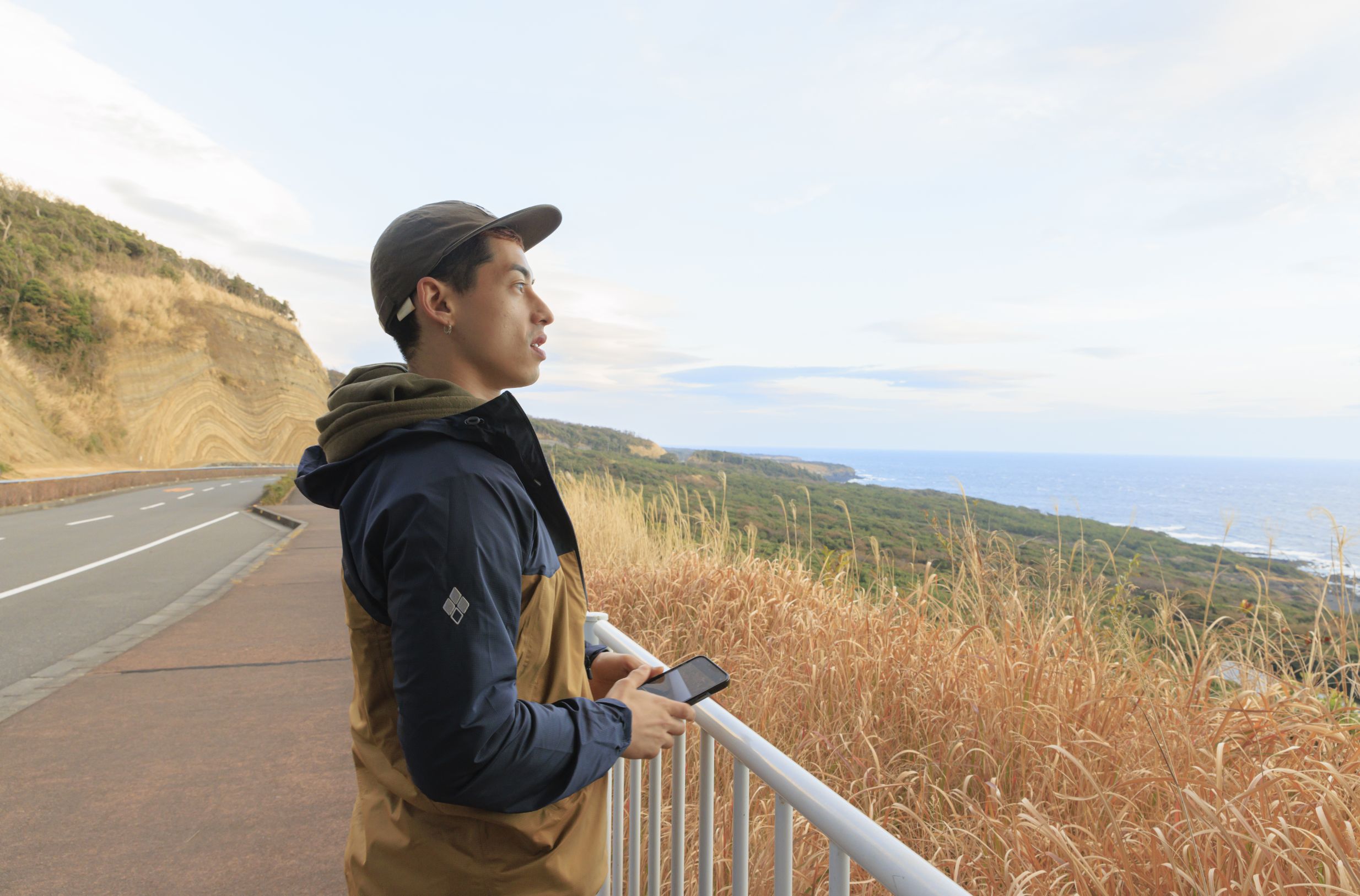
Immerse yourself in the beauty of Oshima’s volcanic landscapes as you climb to the summit of Mt. Mihara with a certified 'Izu Oshima Geopark Geo Guide.’ A guide from a local tour group Global Nature Club will be your trusted resource on the trek. With tours available in English, this “geoguide” can provide an overview of Mt. Mihara’s long volcanic history – from its earliest eruption centuries ago to its most recent in 1986. You can also learn about the ongoing efforts to preserve the mountain’s landscapes.
A local geoguide explains the trekking route
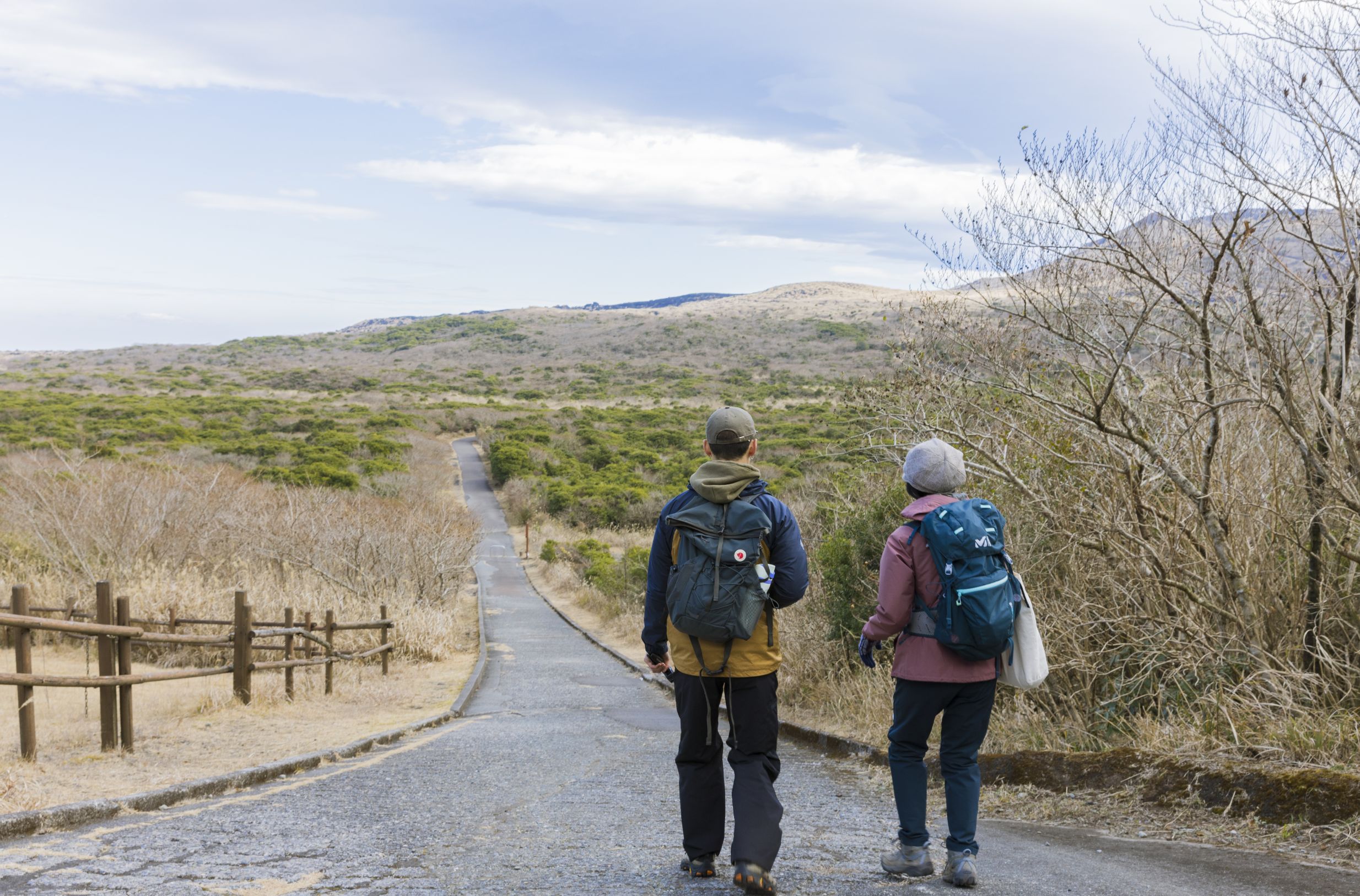
Start your trekking adventure at Mihara Sanchoguchi, which is a 20-minute drive or 30-minute bus ride from Motomachi Port. If you plan to travel with a small group, Global Nature Club can arrange a pick-up service from the local airport or port.
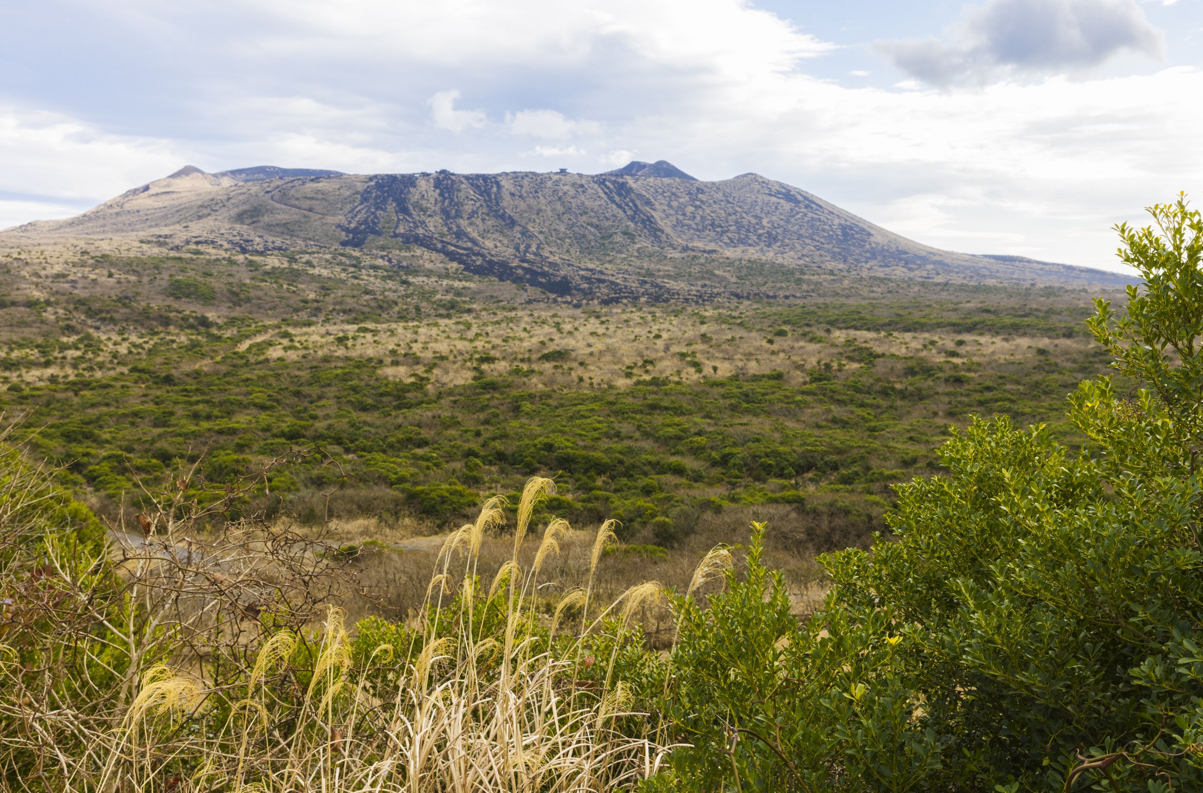
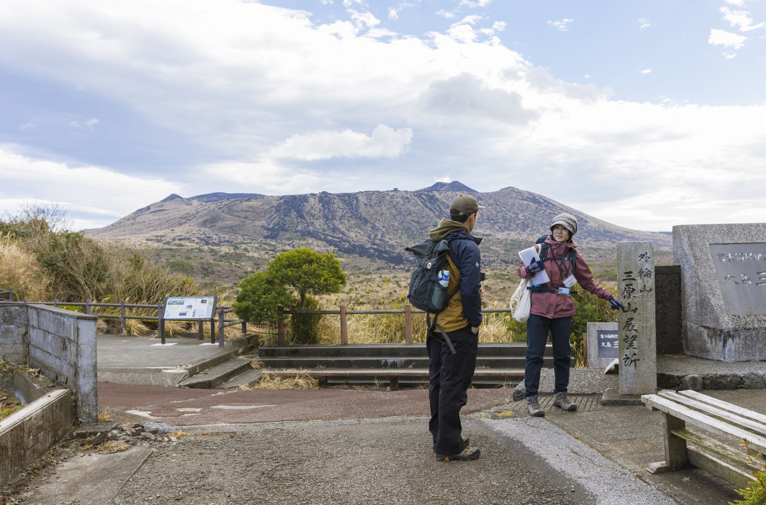
View from Mt. Mihara and Outer Rim Lookout
View from Mt. Mihara and Outer Rim Lookout
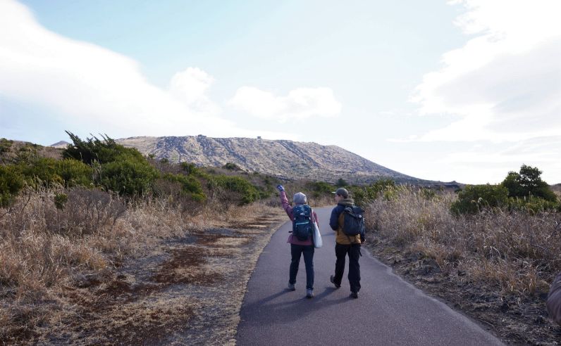
As you trek along the Summit Trail route, you’ll notice large rocks that look like silk and are soft to the touch. They’re a rare lava formation called ‘pahoehoe,’ a Hawaiian term that means smooth. Feel the history of this volcanic island with your own hands! On your hike, keep an eye out for more of these formations, which are solidified magma that flowed from an eruption during the Edo period (1603-1868). The trail to the summit takes about 50 minutes to walk. The trekking experience is beginner-friendly, as the trail is well-paved.
Soft to the touch, feel the silky “Pahoehoe” rock formations with your own hands
Soft to the touch, feel the silky “Pahoehoe” rock formations with your own hands
Soft to the touch, feel the silky “Pahoehoe” rock formations with your own hands
Soft to the touch, feel the silky “Pahoehoe” rock formations with your own hands
While you may not see live magma on the trek, you can witness white steam emitting from the rock formations. This is in fact water vapor, which occurs when rainwater and other moisture seeps into the ground and comes into contact with the constantly moving magma beneath Mt. Mihara, emerging from between the rocks.
Water vapor emits from volcanic rocks
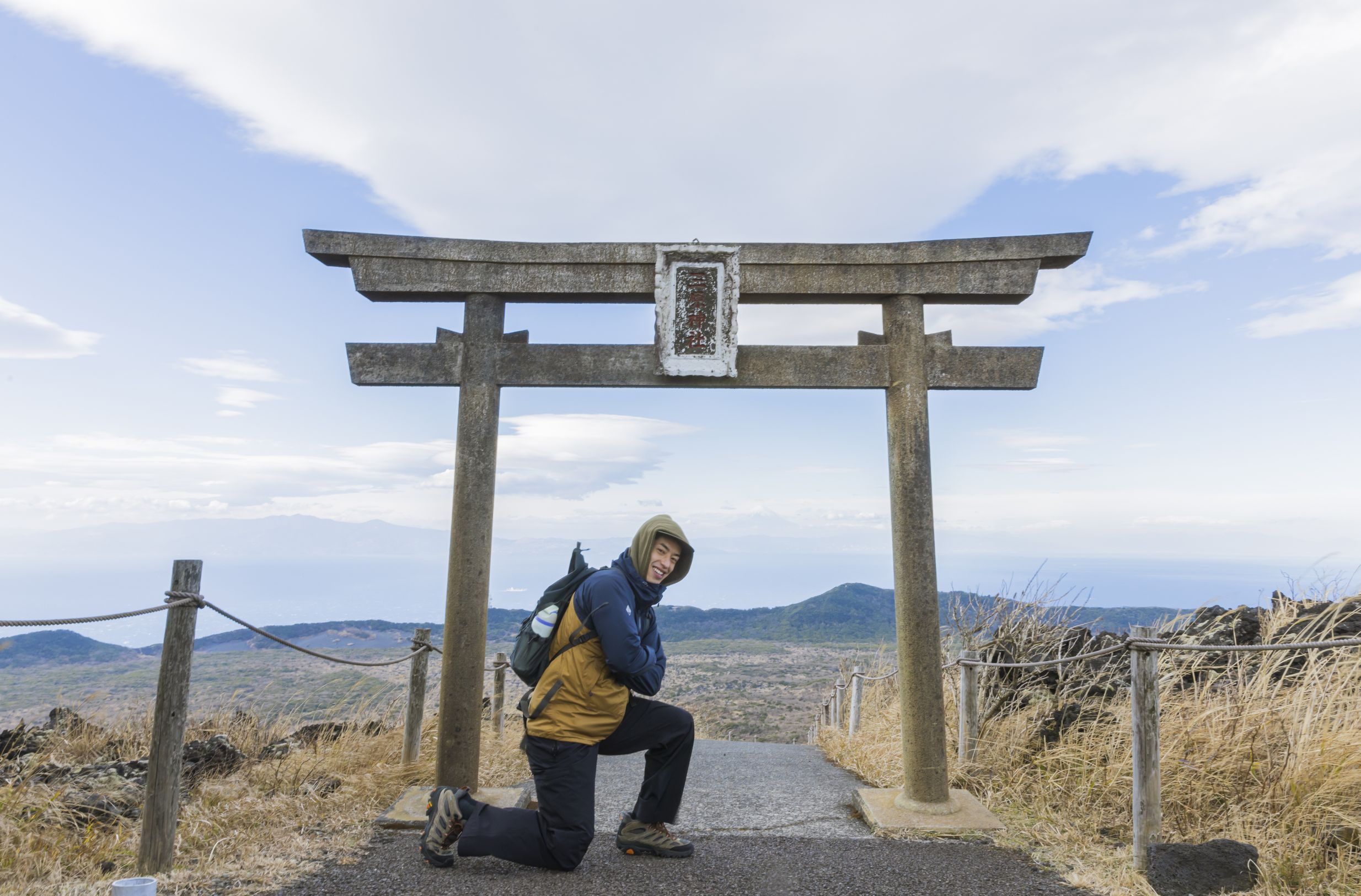
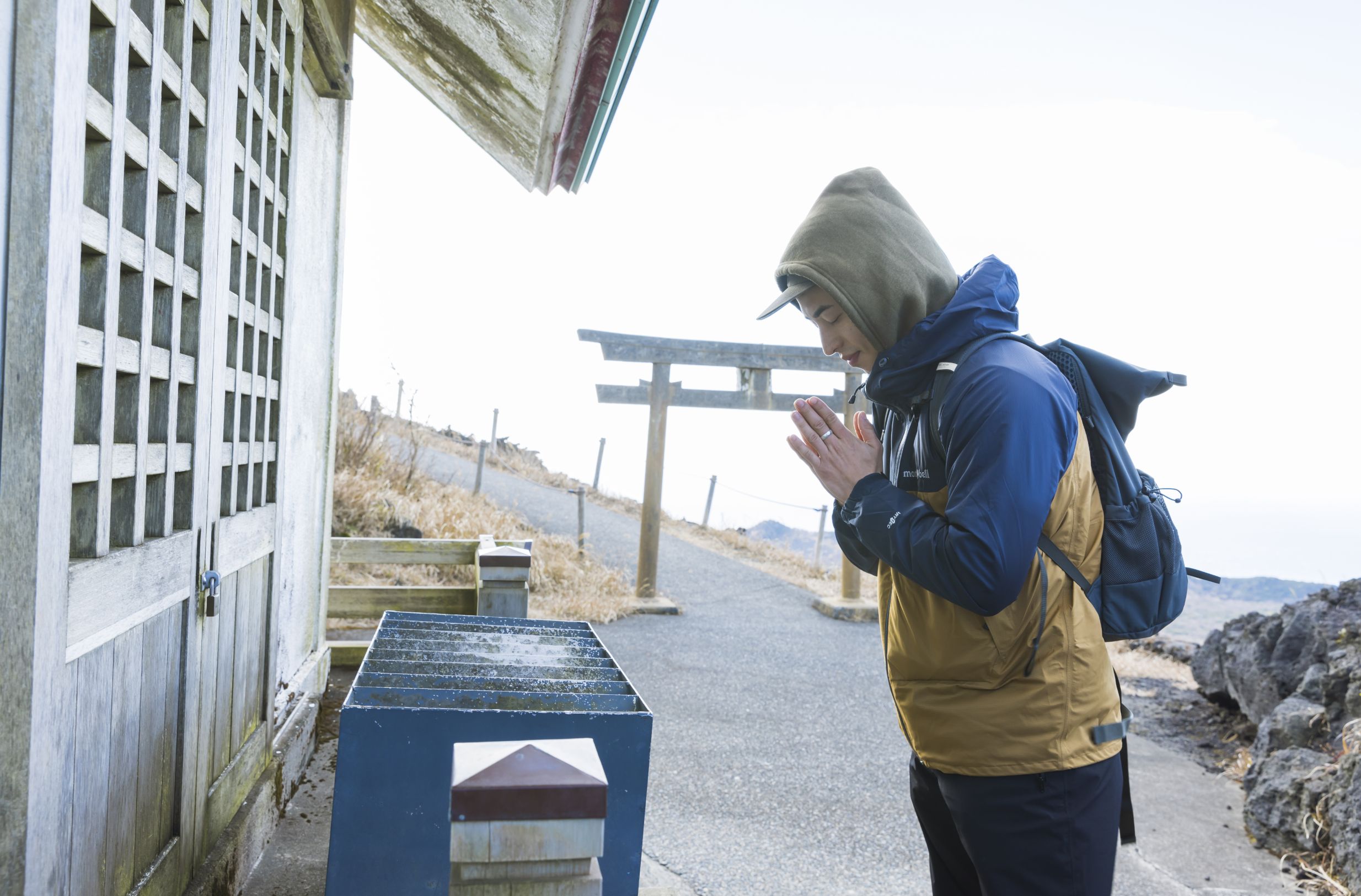
As you inch closer to the summit, you’ll be greeted by a stone torii gate, which is the entrance to Mihara Shrine. This shrine honors the mountain’s spiritual qualities. While volcanic eruptions can be seen as a threat, many islanders also find them to be a sacred presence. Mihara Jinja honors the divine “Gojinka” spirit, which means “divine fire” in Japanese.
After taking in the beauty of this quaint but beautiful shrine, make sure to enjoy the panoramic view. On a clear day, you can see the summit of Mt. Fuji from across the ocean. The view is especially breathtaking as you stand under the torii gate.
Mihara Shrine honors the divine “Gojinka” spirit
Mihara Shrine honors the divine “Gojinka” spirit
As you continue your trek, you may also notice a peculiar rock formation that resembles the famous Japanese sci-fi character, Godzilla. The 1984 film "Godzilla" ends with a scene where Godzilla falls into the crater of the Mt. Mihara. Interestingly, just two years later in 1986, Mt. Mihara actually erupted and created this Godzilla rock.
Take in the incredible panoramic view of Oshima Island
Look out for a rock formation that resemble Godzilla
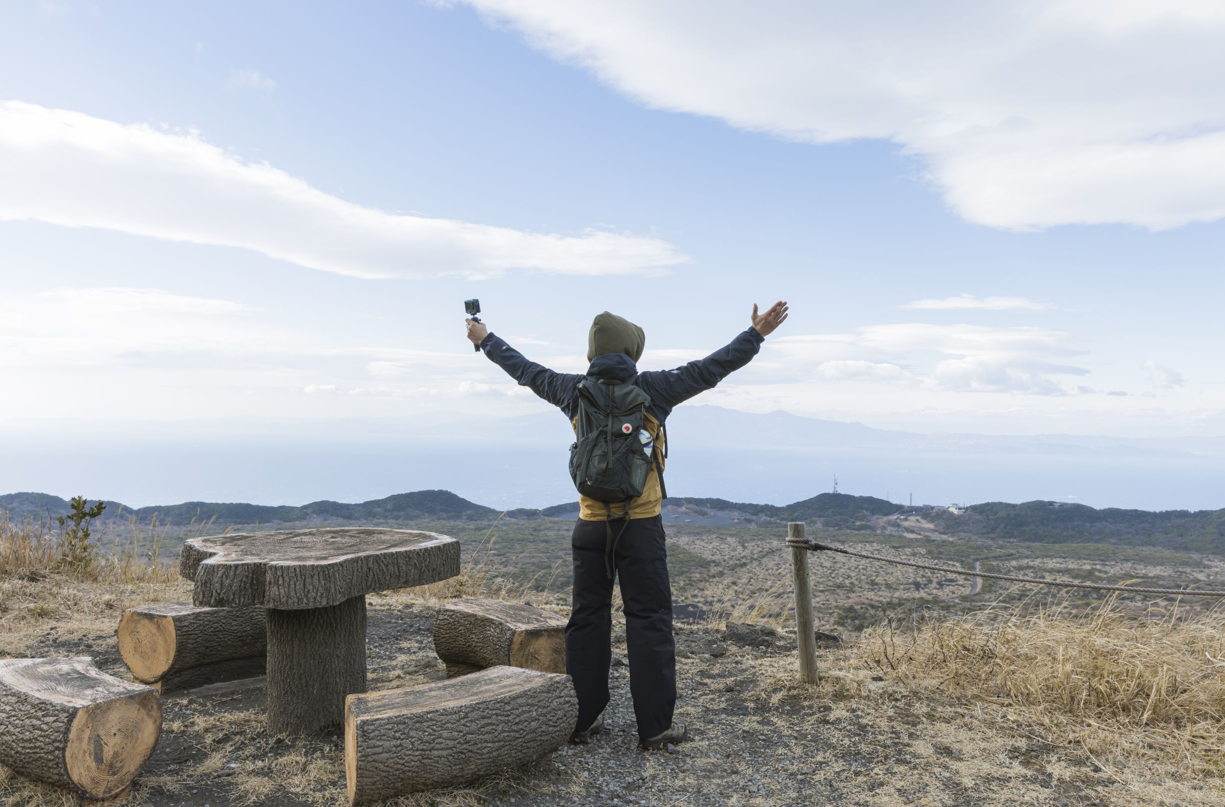
Once you reach Crater Observation, an observatory, relish in the beauty of another incredible panoramic view of Oshima Island. Make sure you go to the top floor of the observatory – it’ll feel like you’re floating in the skies!
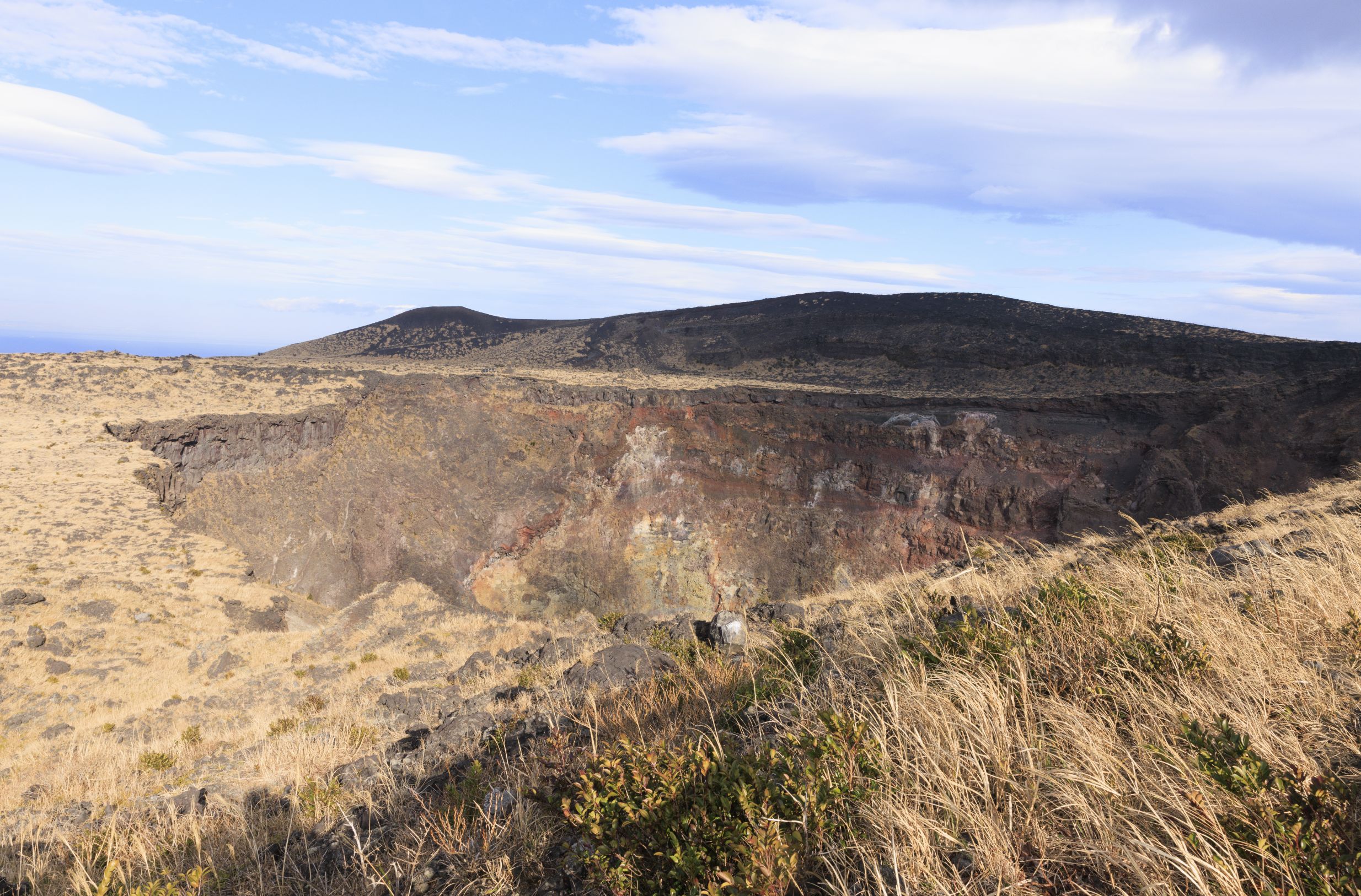
A 15-minute walk from the observatory is the Crater West Lookout. It is believed that Mt. Mihara crater was formed by a volcanic eruption dating back to the 18th century. There have been several eruptions on this island since then. One of the most notable eruptions in recent history was in 1986, when a fissure eruption happened along the northern slope of the mountain. Magma overflowed from the crater, covering it almost completely at one point. Now, the crater is 200 meters deep, making it an incredible sight to witness. Make sure you walk on the path around the crater, called the “Ohachi-Meguri” course, which takes about 1 hour. This path is quite rocky, so be sure to bring sturdy hiking shoes.
A view of Mihara Mountain’s crater from the Crater West Lookout
A view of Mihara Mountain’s crater from the Crater West Lookout
From the summit of the mountain, you’ll notice a large plain covered in black sand called Ura-Sabaku Desert. On maps issued by the Geographical Survey Institute, Ura-Sabaku Desert, known as the only desert in Japan, was formed by scattered rock and ash from previous volcanic eruptions.There’s barely any vegetation here because strong winds on this part of the mountain make it difficult for seeds and soil to take root, preventing vegetation from growing easily and leaving the desert mostly black. Multiple trails take you along the desert, including the Oshima Onsen Hotel Trail and Texas Trail. Walking along this vast sea of black sand feels like you’ve set foot onto another planet!
Relish in the scenic views of Ura-Sabaku Desert, Japan’s only desert
Relish in the scenic views of Ura-Sabaku Desert, Japan’s only desert
There is no one way to explore Mt. Mihara’s various trails. Make sure you consult your geoguide for a customized hiking route. Each trail offers its own adventure!
Izu Oshima Geopark’s trekking routes are available in English and Japanese
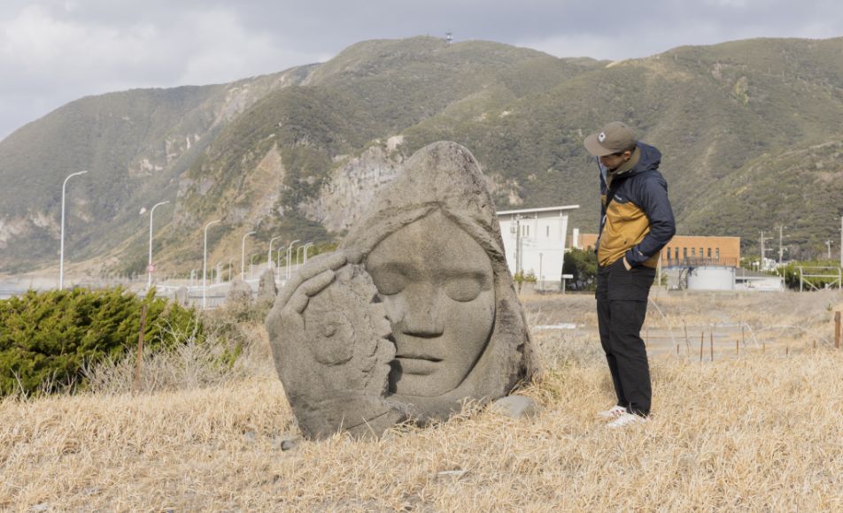
Another attraction that showcases the volcanic wonders of the island is
the Great Road Cut (Stratum Section), which is located on the southwestern section of the island. This large formation was discovered by accident during the construction of a new road in 1953. They are enormous geological layers, approximately 24 meters tall and stretching over 630 meters.
You'll notice that the Great Road Cut is formed by layers of accumulated volcanic deposits from eruptions on Oshima Island and nearby islands. This is due to volcanic ash that scattered from eruptions over several centuries, which eventually accumulated on top of each other. Many affectionately call these geological layers "Baumkuchen" because the layered formation resembles the popular German pastry in Japan.
The Great Road Cut(Stratum Section)is made from many layers of volcanic ash.
The Great Road Cut(Stratum Section)is made from many layers of volcanic ash.
The Great Road Cut(Stratum Section)is made from many layers of volcanic ash.
Views of Toshima, Niijima and Shikine-jima Islands opposite the stratum.
Opposite the Great Road Cut(Stratum Section)is the Oshima Island coastline. On a clear day, you can view some of the other Izu Islands, such as
Toshima, Niijima, and
Shikine-jima. Make sure to visit this viewing spot during sunset - the geological layers reflect beautifully in shades of orange and golden hues. The Great Road Cut is accessible by bus (Chiso-Danmen-Mae station), or by car.
General information
Oshima Island
- Address: Oshima, Tokyo Map >
- Access:
- High-speed jet boat: 1 hour 45 minutes from Takeshiba Terminal
- Ferry: 6 hours from Takeshiba Terminal
- Plane: 30 minutes from Chofu Airport
See details at "GO TOKYO"Global Nature Club's Geo/Nature Tour
- Tour Times: Varies (booking information on website)
- Courses and Price:
- Mt. Mihara Half-Day Tour (4 hrs) - 8,800 yen (incl. tax)
- Ura-Sabaku Desert Half-Day Tour (4 hrs)- 8,800 yen (incl. tax)
- Mt. Mihara and Ura-Sabaku Desert Full-Day Tour (6 hrs) - 13,200 yen (incl. tax)
- Customized Tour (3-6 hrs) - 6,600 - 13,200 yen (incl. tax)
The Great Road Cut(Stratum Section)
IF YOU WANT TO KNOW MORE!
Hiking & Trekking
The GO TOKYO website provides travel information in a range of categories. Check it out to find other activities and outings similar to those we explore in these articles.